
Design cities through conversation.
AERIS is the intelligence behind AeroTerra — the layer a person will talk to, which turns a city brief into a structured 3D environment that can be explored, revised, saved and exported.
Current site visuals are concept previews and scripted demonstrations.
Planned for Version 1.0. Not available yet.
AeroTerra Version 1.0 Public Early Access targeted for November 1, 2026.
AI city design · In developmentExplore Version 1.0
This is an interest list, not a purchase and not a place in a queue — there is nothing to log into yet.
Describe it. Generate it. Keep changing it.
What describing a city is meant to feel like.
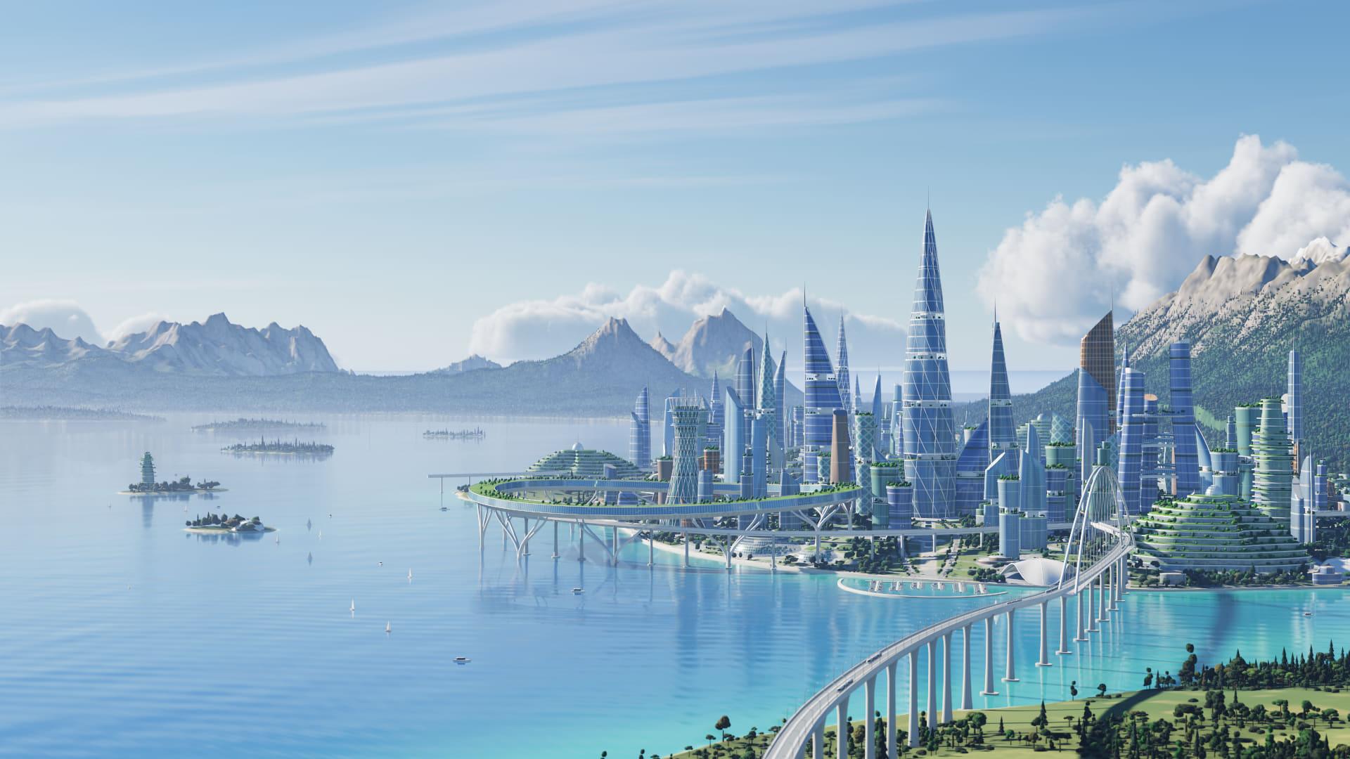
The console below is a fixed script and the city beneath it is a film we rendered in advance. Nothing is being generated: no prompt is sent, no model runs, and the result never changes.
It is here to show the shape of the planned interaction — a brief in, a city out — while the working product is built.
Describe
Choose a starting environment and a civilization class, then describe the city you want in your own words.
Generate
AERIS will turn that brief into a structured plan and build it as a 3D city, not just a picture of one.
Explore
Move through the result with a free camera or from a bird’s-eye view, and select major objects to inspect them.
Modify
Later prompts will change that same city rather than starting a new one, leaving the parts you did not ask about alone.
Save & Export
Save a project, reopen it with its history intact, and export it to files you can take elsewhere.
AERIS
Scripted demonstration


Pre-rendered film
Concept preview · not product output
Concept diagram
Scripted demonstration. A pre-recorded command and a pre-rendered film, not live generation and not product output.
A brief becomes a plan, and the plan changes a model.
AERIS is not planned to write arbitrary code into a 3D scene. It is planned to produce a structured plan that is checked against the project’s constraints, then call a bounded set of AeroTerra operations that change the city as a recorded transaction.
That is what should make an edit undoable, and a follow-up prompt able to change one district without disturbing the rest.
Human intent
A brief, in your own words.
AERIS
Interprets it and decides what the city needs.
Structured plan
A checked plan, not free-form code.
AeroTerra tools
A bounded set of operations that may change a city.
CityGraph
The authoritative city state, updated as a transaction.
Procedural systems
Districts, blocks, massing, mobility, open space.
Interactive 3D city
What you explore, revise and export.
What the first public version is planned to do.
Version 1.0 is meant to prove one thing: that a person can describe a future city, get it back as a structured 3D environment, and keep editing that same city through later prompts without starting over.
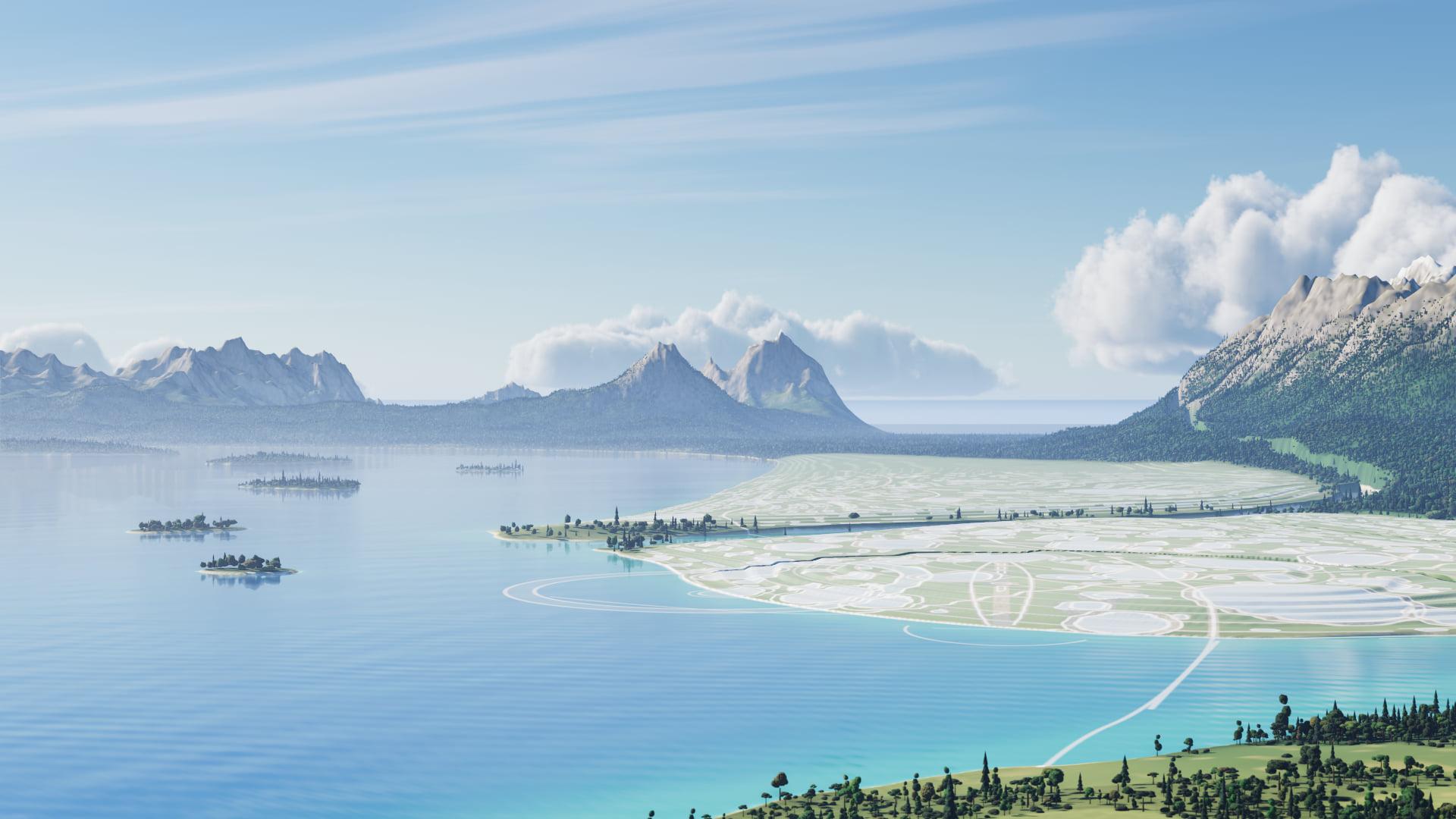
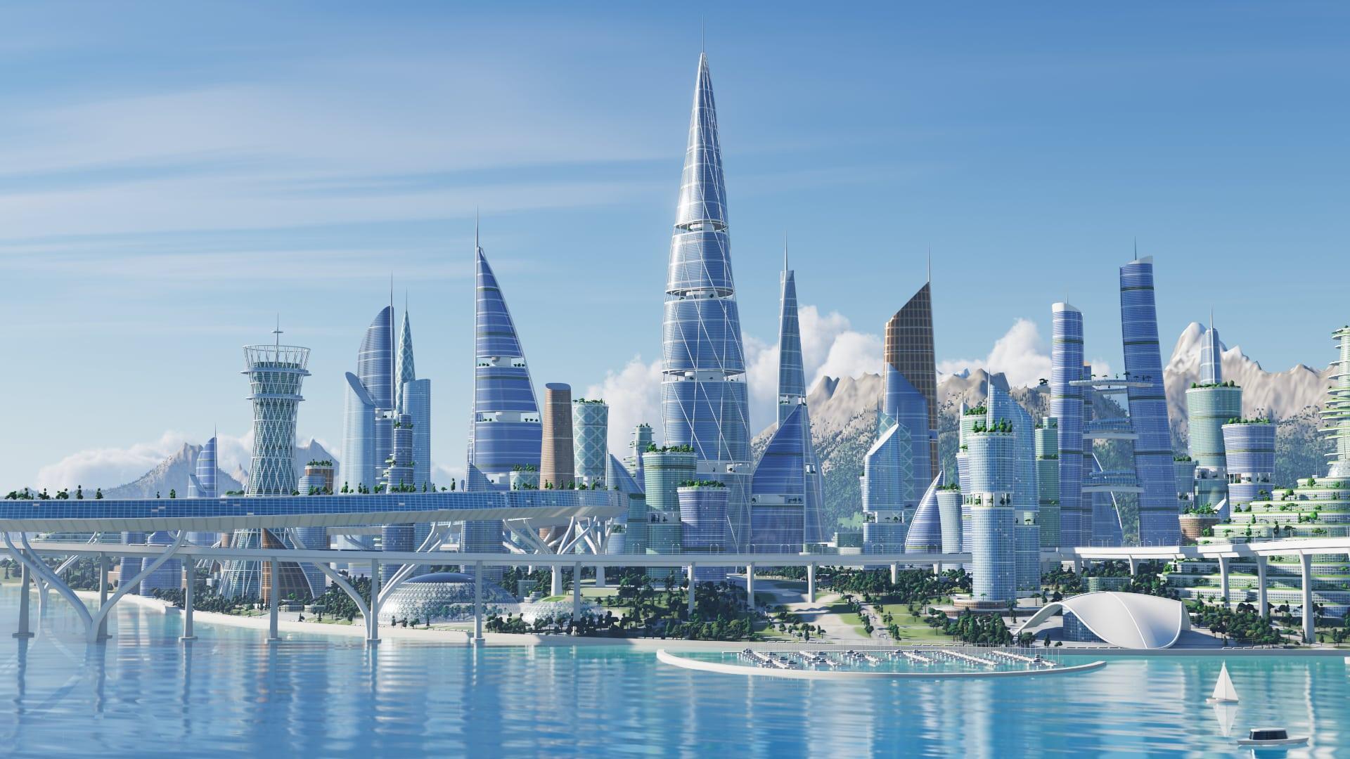
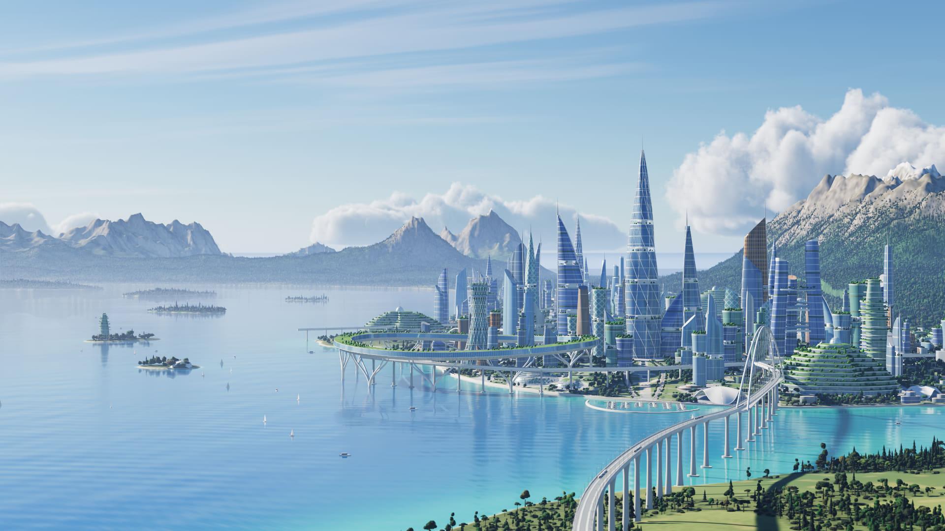
An original AeroTerra-owned visual study for a conceptual design environment. It is not a selected site, proposal, simulation, or generated product result.
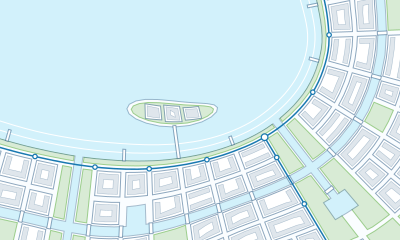
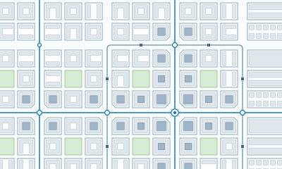
A synthetic starting canvas for setting land, water, terrain, coastline, elevation, and islands. The diagram explains the intended controls; it does not show a running editor.
AQUORA
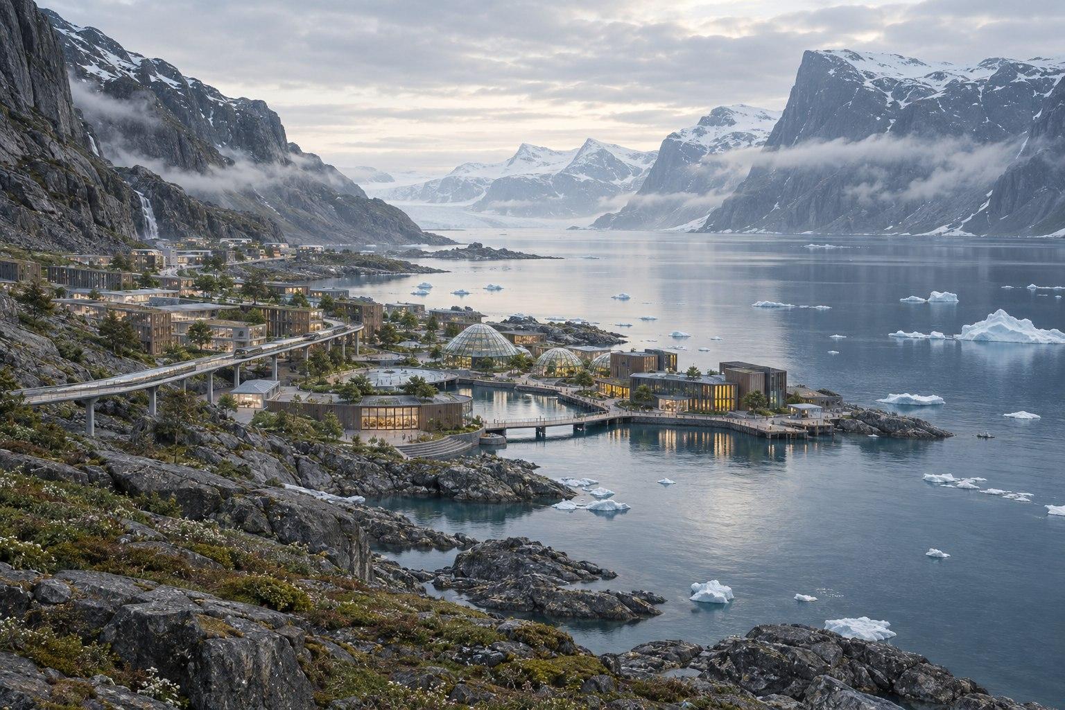
A nature-integrated, aquatic civilization class: water integration, biophilic architecture, generous open space, pedestrian and transit priority, organic form.
NEXARA
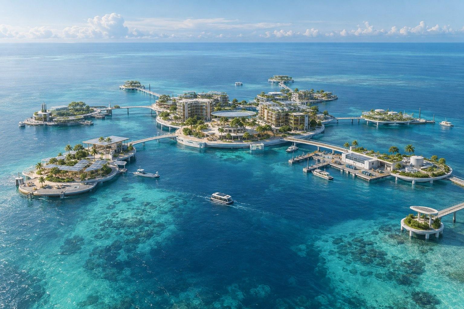
A dense, automated, vertically organised civilization class: layered passenger and freight mobility, autonomous logistics, concentrated infrastructure, geometric form.
Blended influence
One primary class per project with an optional secondary influence, so a city can lean one way without losing its character. These are design defaults, not engineering standards.
AERIS
The designer you brief. AERIS will interpret an incomplete request, make reasonable design decisions, act rather than interrogate, and explain what it did.
CityGraph
A structured model of the city beneath the 3D scene — districts, parcels, buildings, open space, mobility and conceptual infrastructure, each a real object with its own identity.
Persistent editing
The city you generated is the city you keep editing. Follow-up prompts will modify it in place and preserve the state you did not ask to change.
Auto and Plan modes
Let AERIS judge how much planning a request needs, or review its plan before anything is built.
Full 3D exploration
Free camera, bird’s-eye view, orbit, pan and zoom across the whole city, with changed objects highlighted after each operation.
Object inspection
Select a major object to see its type, its parent district, its use, its estimated capacity, what it connects to, and any unresolved warnings.
City dashboard
Population target, estimated capacity, districts, buildings, open-space share, transit stations, class, technology horizon and labour setting in one place.
Conceptual by construction
Every number will say what it is — a target you set, a direct calculation from the model, a conceptual estimate, or not calculated at all.
Checkpoints
A large request will be broken into at most three checkpoints — spatial foundation, systems and infrastructure, buildings and validation — each leaving a valid state behind it.
Pause, Adjust, Stop, Revert
Stop a long operation at a safe point, change the rest of the plan, or return the city to exactly the state it was in before you asked.
Undo, locks and constraints
Undo and redo committed changes, protect or fully lock an object so AERIS may not redesign it, and set city-wide constraints on population, open space, height and car policy.
Autosave and recovery
A valid recovery state after every committed edit and every checkpoint, so a failed operation does not cost you the project.
Save, load and history
A project library, plus the prompts and committed changes that produced the city, kept with it.
Export
GLB/glTF, AeroTerra project JSON and PNG at launch, with GeoJSON limited to top-level geographic objects. Every export will carry its city version and its conceptual status.
One subscription
One AeroTerra subscription will provide access to Version 1.0 Public Early Access. Pricing will be announced before launch.
Technology moves in months. Cities are still planned in years.

Concept preview
AI is changing how software gets built almost overnight. The places we live in are still designed with the same slow, sequential process they were decades ago.
Public money goes into the ground every year. The thinking that precedes it deserves better tools.
AeroTerra’s aim is to give that earliest stage a tool built for it: somewhere to describe a city, see it as a structured model, and keep changing it — before anyone commits to a drawing.
$626B
Federal, state, and local public spending on transportation and water infrastructure totaled $626 billion in 2023.
What Version 1.0 will not be.
This matters more than the feature list. Version 1.0 is planned as a conceptual city-design and early-planning environment — a place to think in, not a place to certify anything.
- It will not perform engineering-grade structural analysis, validated energy or environmental simulation, or computational fluid dynamics.
- It will not validate economic viability, and it will not price materials.
- It will not read live global telemetry, live satellite imagery or real-time market data.
- It will not integrate with municipal grids, and it will not model subsurface infrastructure pipe by pipe.
- It will not replace CAD or BIM authoring, and it will not produce IFC, DWG, Revit or CityGML files.
- It will not generate the whole Earth, and it will not support multiplayer or VR.
- It will not replace licensed engineering, permitting or professional review.
What exists today, and what is next.
We’d rather you trust the roadmap than the renders. Here is exactly where the work stands.
Now
Concept development
Concept previews, scripted demonstrations, geographic and data preparation, and development of the working product.
Next
AeroTerra Version 1.0 Public Early Access
Target: November 1, 2026. A target, not a commitment to ship on that date.
Then
A selected real-world pilot
Future work with an appropriate developer, city, campus, planning organisation or selected partner. None is committed today.

Who’s building it.
As a kid I wanted to be an architect, fascinated by the engineering and planning it takes to make a place work. Since then, defense, spaceflight and AI have leapt forward, yet the way we plan and build cities has barely changed. In my lifetime, and my parents’, I’ve never seen one built from the ground up.
AeroTerra exists to change that.
Hayden Ritchie
Founder & CEO
Business management student at Christopher Newport University, minoring in computer science. Also founder of Atlas Leads (opens in a new tab), an AI implementation partner for local businesses.
Fund the move from concept to first pilot.
Invest · Now raising
AeroTerra is newly founded and raising its first round to turn the concept work into a working product and put it in front of a first customer. Here is what the capital pays for.
Ship Version 1.0
Public Early Access targeted for November 1, 2026.
Land a first pilot
A city, developer or campus partner.
Grow the team
First engineering hires.
- Stage
- Pre-seed · newly founded
Request investor materials
Deck, roadmap, round size and terms — shared privately with qualified investors.
Prefer to talk first?Email Hayden directly
Nothing on this site is an offer to sell or a solicitation to buy securities.
We use what you send as described in our Privacy Policy.
Be there when Version 1.0 opens.
Leave an email and we’ll tell you when Version 1.0 Public Early Access opens. This is an interest list, not a purchase and not a place in a queue — there is nothing to log into yet.
Investors, pilot partners and engineers — reach Hayden directly.