
The first public version of AeroTerra.
AeroTerra is developing an AI-native system for designing structured, explorable future cities. The public site currently shows concept previews and scripted demonstrations. AeroTerra Version 1.0 Public Early Access is targeted for November 1, 2026.
Every capability on this page is planned for Version 1.0.
Nothing described here is available today, and none of it has been independently verified. November 1, 2026 is a target, not a commitment to ship on that date.
One thesis, proved end to end.
A person should be able to describe a future city in their own words, receive it as a structured and explorable 3D city, and keep modifying that same city through later prompts without starting over.
Version 1.0 is planned as an AI-native environment for generating, exploring, editing, saving and exporting structured future-city concepts. It is being built for people working at concept level: architects and architectural designers, urban designers and planners, students and researchers, developers and investors weighing an early idea, and anyone who wants to design an ambitious city and walk around in it.
It is called Public Early Access because the release is planned to be public and paid while the system is still establishing its reliability, its procedural depth and its supported uses. It is not licensed engineering software, a permitting system, a validated simulator, a full BIM platform, or a replacement for architects, planners or engineers.
Three places to begin.
A project will start from one of three environments — two built on real public geographic data, one synthetic. Every source-backed layer is planned to keep its provenance with it: the organisation, the dataset, its dates, its coordinate reference, its resolution, its licence and its known limitations.
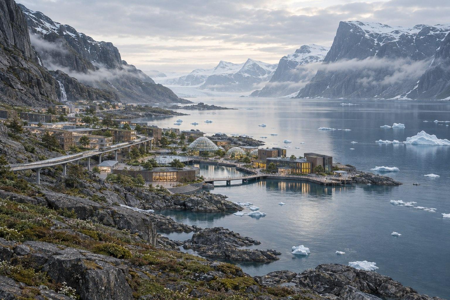
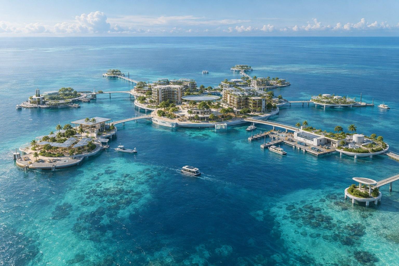
The Greenland and Honduras environments are conceptual AeroTerra design canvases using real-world geography, not selected sites or development proposals. Their exact areas of interest remain to be defined after geospatial screening for protected land and marine areas, habitats and reefs, navigation and shipping, terrain and bathymetry, settlements and infrastructure, legal and jurisdictional constraints, and dataset availability and licensing.
No layer will be described as real-time unless it actually is, and existing roads, buildings and parcels on the real sites will be off by default.
Two civilization classes, with different instincts.
A civilization class is a set of design defaults — how much a city leans on water, how vertical it is, how much open space it protects, how it moves people and freight. Choosing one is how you tell AERIS what kind of place you mean before you describe a single district.
These are design preferences, not engineering standards, and they do not make a city buildable or compliant with anything. A third class, ASCYRA, is not part of Version 1.0.
A project will take one primary class and, optionally, a secondary influence applied to selected systems. AERIS will not blend classes at random.
AQUORA
Water-led · biophilic · connected
Nature-integrated and aquatic: high water integration, biophilic architecture, 25–40% open space, pedestrian and public-transit priority, low private-car dependence, mixed-use waterfronts, organic geometry, and medium-to-high density without default extreme verticality.
Concept only · not an engineering standard
NEXARA
Dense · automated · layered
Dense and automated: high verticality, layered passenger and freight mobility, autonomous logistics, strong central and secondary nodes, concentrated infrastructure, robotic service systems, high transit coverage, and geometric modular form.
Concept only · not an engineering standard
The designer you brief.
AERIS is the intelligence behind AeroTerra — the layer a person will talk to, which turns a city brief into a structured 3D environment that can be explored, revised, saved and exported.
AERIS is planned as an autonomous city designer rather than a chatbot: given an incomplete brief it should infer the most reasonable reading, respect the project’s constraints and locks, build the strongest valid design, and say briefly what it assumed and what it could not do. It will not claim an impossible target was met.
AERIS is AeroTerra’s own intelligence layer — conversation, project memory, city-design planning, tool orchestration and validation — not a proprietary foundation model. Two modes are planned: Auto, where AERIS judges how much planning a request needs, and Plan, where you review its plan before anything is built.
Human intent
A brief, in your own words.
AERIS
Interprets it and decides what the city needs.
Structured plan
A checked plan, not free-form code.
AeroTerra tools
A bounded set of operations that may change a city.
CityGraph
The authoritative city state, updated as a transaction.
Procedural systems
Districts, blocks, massing, mobility, open space.
Interactive 3D city
What you explore, revise and export.
A brief in, a structured city out.
“Create an AQUORA coastal city with an artificial island, a dense mixed-use waterfront, large public parks, autonomous transit, desalination and distributed clean energy.”
Generation is planned to produce one strong design rather than a gallery. Ask for alternatives and AERIS may return up to three lightweight concepts; only the one you choose becomes the active city. Version 1.0 will not keep several editable branches side by side.
Underneath the 3D scene, the city is planned to exist as CityGraph: districts, blocks, parcels, buildings, open space, water features, artificial islands, mobility nodes and edges, and conceptual infrastructure — each a real object with a stable identity, its own properties and its own history. CityGraph is what the city is; the render is only how it looks.
Walk the whole thing, not a hero shot.
The point of a structured city is that you can go and look at it. Version 1.0 is planned to render the generated city as a scene you move through freely, with a performance budget measured before launch rather than assumed.

- Camera
- Free camera, bird’s-eye view, orbit, pan, zoom and city-wide navigation, at a bounded city size with levels of detail so it stays usable on ordinary hardware.
- Selection
- Click a major object to select it. Objects added or modified by the last operation are highlighted temporarily, and dependency changes get their own indicator.
- Not in Version 1.0
- No first-person gameplay, no VR, no multiplayer, and no camera-direction awareness for AERIS — it will know what you have selected, not where you are looking.
Ask the city what it thinks it is.
Because the city is structured rather than sculpted, its objects can answer questions about themselves. Version 1.0 is planned to expose a basic inspector and a basic dashboard.
These are conceptual planning figures. They are not engineering results, they are not validated, and no reading here should be treated as a structural, energy, environmental or economic conclusion.
The second prompt does not start over.
“Double the density of the downtown waterfront without removing protected parkland.”
The same city should change: the waterfront densifies, the protected parks stay, capacity updates, the affected objects are shown, and the districts you did not mention are left alone.
This is the capability Version 1.0 exists to prove. Persistent editing is planned to work because each change is a recorded transaction against CityGraph — objects created, modified and deleted, the state before and after, the dependencies touched, and the reason — rather than a fresh generation that happens to look similar.
Limited manual editing is planned alongside prompting: select, move, rotate, resize, duplicate, delete, protect, lock, rename, and basic changes of use and height. When a manual edit breaks a dependency, AeroTerra should offer to repair the connections, keep the current state, or undo the edit — not silently redesign systems you did not touch.
A big change you can stop, steer, or take back.
The risk with letting a model reshape a city is that a half-finished operation leaves you with a broken project. Version 1.0 is planned around that: atomic actions, checkpointed operations, autosave, preservation of the last valid state, deterministic errors and bounded retries.
- At most three checkpoints
- A large request will be divided into a spatial foundation, then systems and infrastructure, then buildings and validation. Each completed checkpoint leaves a valid, recoverable state.
- Pause, Adjust, Stop, Revert
- Pause finishes the smallest atomic action and waits. Adjust lets you change the rest of the plan. Stop rolls back the unfinished action and keeps completed checkpoints. Revert returns the city to exactly the state it was in before the request began.
- Undo, locks and constraints
- Undo reverses a recorded changeset rather than asking a model to approximate the old city. An object can be protected or fully locked. City-wide constraints — population, open space, maximum height, private-car policy, technology horizon, class — will be set as hard requirements, targets or preferences.
- Autosave and recovery
- A valid recovery state after every committed edit and every checkpoint. Leave in the middle of a long operation and it will finish its current safe action, commit the last checkpoint, and offer to continue, adjust, keep or revert when you return.
Leave with the work.
A project library, save and load, and the prompts and committed changes that produced the city are planned to be kept with it, so reopening a project restores the city, its history, its constraints, its locks and its dashboard.
- At launch
- GLB/glTF for the 3D city, AeroTerra project JSON for the structured city and project state, and PNG for a high-resolution view.
- Limited at launch
- GeoJSON, initially covering top-level geographic objects, boundaries and routes only.
- Not included
- No IFC, DWG, Revit or CityGML, and no BIM interoperability promise. Every export will carry its project and city version, its export time, its coordinate reference where it applies, and its conceptual status.
One AeroTerra subscription will provide access to Version 1.0 Public Early Access. Pricing will be announced before launch. There is nothing to buy on this site today, and the request below is an interest list rather than a checkout.
What Version 1.0 will not be.
Read this as part of the product, not as a disclaimer at the foot of it. Version 1.0 is planned as a conceptual city-design and early-planning environment. It does not replace licensed engineering, permitting, professional review, or detailed BIM or CAD authoring.
- It will not perform engineering-grade structural analysis, validated energy or environmental simulation, or computational fluid dynamics.
- It will not validate economic viability, and it will not price materials.
- It will not read live global telemetry, live satellite imagery or real-time market data.
- It will not integrate with municipal grids, and it will not model subsurface infrastructure pipe by pipe.
- It will not replace CAD or BIM authoring, and it will not produce IFC, DWG, Revit or CityGML files.
- It will not generate the whole Earth, and it will not support multiplayer or VR.
- It will not replace licensed engineering, permitting or professional review.
Targeted for November 1, 2026.
AeroTerra Version 1.0 Public Early Access targeted for November 1, 2026. That date is a target. If the release is not ready and verified by then, this site will keep saying it is in development rather than claiming it shipped.
Leave an email to hear when Version 1.0 opens. It is an interest request — not a purchase, not a licence, and not a place in a queue.