
How AeroTerra is being built.
AeroTerra is developing an AI-native system for designing structured, explorable future cities. This page separates three things that are easy to blur: what publicly exists today, what is planned for Version 1.0, and what is a possibility for later.
In development
AeroTerra Version 1.0 Public Early Access targeted for November 1, 2026.
Today
What exists publicly right now is this website and the media on it. Everything visual you can see — the city films on the homepage, the rendered stills, the console sequence — was produced offline by us and is labelled where it appears.
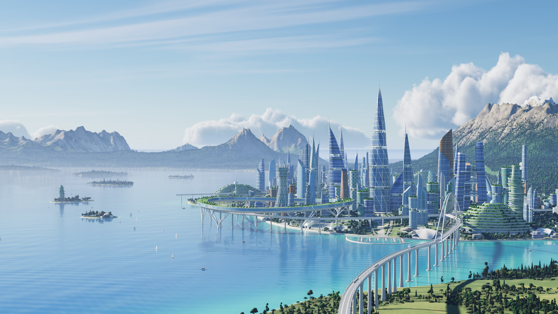
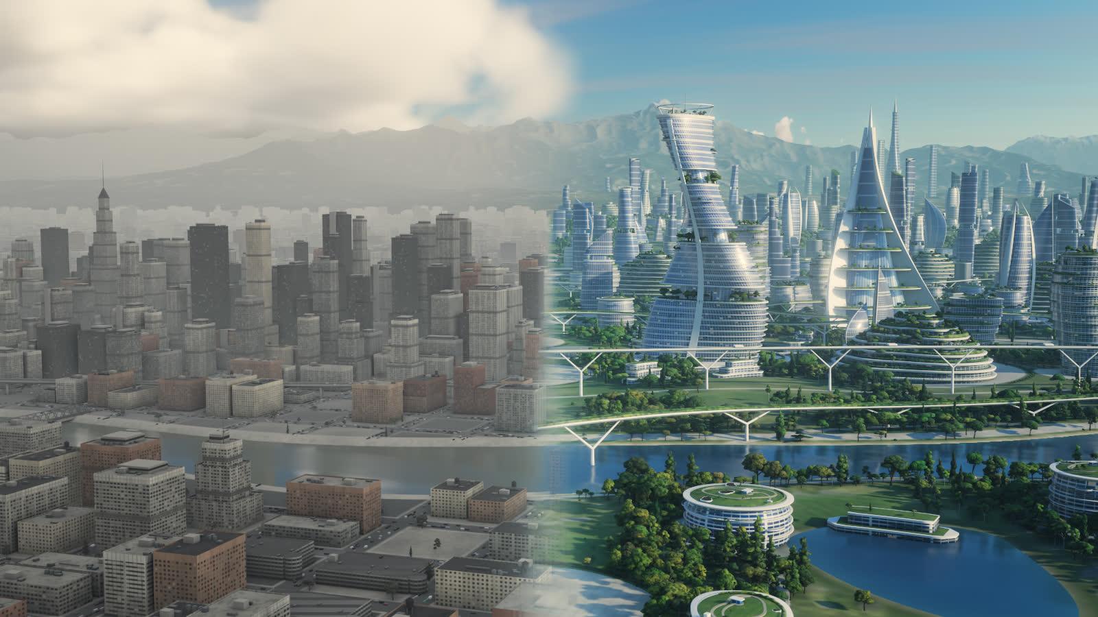
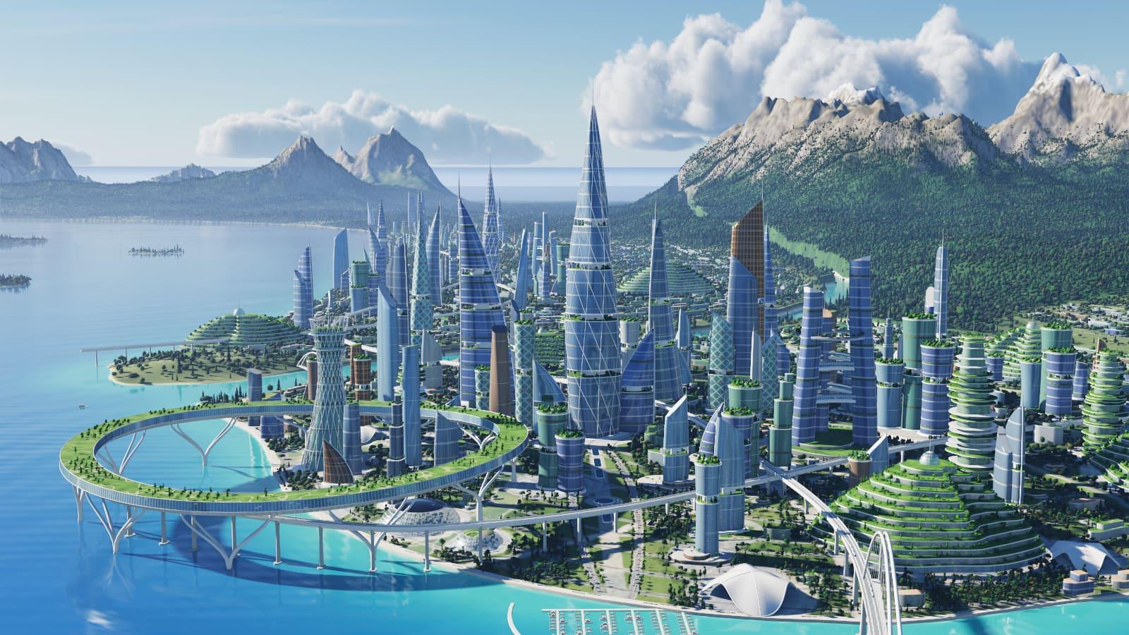
- Concept previews:
- Films and stills we rendered to picture the idea. They are not generated by a product and they do not change.
- Scripted demonstrations:
- A fixed command typed into a console, followed by a pre-rendered film. No prompt is sent and no model runs.
- Public explanation:
- The vision, the planned product, the release target, and the boundaries — which is what these pages are for.
- Active development:
- The working product is being built. Its architecture is described below as a plan, not as a running system.
There is no city generation, no simulation, no live data feed and no product to log into on this site today.
Version 1.0
Everything in this section is planned for Version 1.0 and does not exist yet. It will be described in the present tense only after it has been built and independently verified.
The intended shape of the system is deliberately narrow. A person will brief AERIS; AERIS will produce a structured plan rather than free-form code; a bounded set of AeroTerra operations will apply that plan to a structured model of the city; and procedural systems will turn the model into something you can walk through.
AERIS:
AeroTerra’s own intelligence layer: conversation, project memory, city-design planning, tool orchestration and validation. Not a proprietary foundation model.
Model gateway:
A server-side gateway to reasoning models, using a lead model to plan and a verifier model to check that plan against the project’s constraints, locks and the tool contracts. Provider keys stay on the server; no user supplies their own.
Structured DesignPlan:
Before anything changes, the interpreted goal, the assumptions, the constraints, the dependencies, the proposed operations, the checkpoints and the expected outcome — as data that can be validated.
AeroTerra Tool API:
A finite set of operations that may change a city — create a district, generate a building group, extend a transit line, resize an island. The verifier never edits the scene itself.
CityGraph:
The authoritative city state: districts, blocks, parcels, buildings, open space, water, artificial islands, mobility nodes and edges, conceptual infrastructure, constraints and warnings. Each object has a stable identity and a history.
Procedural city systems:
District layout, block and parcel subdivision, mobility generation, building massing, open space, and conceptual infrastructure placement, driven by the chosen civilization class.
RenderGraph and the 3D engine:
The display layer — meshes, materials, level of detail, selection state — kept separate from CityGraph and referring back to it, so the renderer can change without the city model changing.
Persistent edits and project persistence:
Every committed change recorded as a transaction, so a follow-up prompt modifies the existing city and undo reverses a real changeset rather than regenerating an approximation.
Supported exports:
GLB/glTF, AeroTerra project JSON and PNG, with GeoJSON limited to top-level geographic objects. No IFC, DWG, Revit or CityGML.
Version 1.0 represents infrastructure at concept level: major facilities, conceptual networks, service areas, estimated capacities, connection status and dependencies. It does not model every pipe, cable or substation, and its figures are conceptual planning estimates rather than certified calculations.
A later possibility
These are directions for versions after 1.0. None of them is planned for the first release, none is committed, and none should be read as a capability AeroTerra will have by a particular date.
Deeper analysis:
Early analysis modules that go beyond conceptual estimates — which would need a documented method and review before any result could be trusted.
Simulation:
Energy, environmental or structural simulation, if and when it can be validated. It is not part of the Version 1.0 promise, and no simulation the site has shown is a real analysis.
Richer infrastructure systems:
More detailed networks and dependencies than the conceptual level Version 1.0 plans for.
Broader geographies:
More than the two conceptual environments in remote Greenland and offshore Honduras, and the synthetic canvas.
Professional integrations:
Better GIS interoperability and workflow pilots with professional organisations. AeroTerra is not a replacement for CAD or BIM authoring, and adding exporters would not make it one.
Optimization:
Helping choose between designs against stated goals, rather than only producing them.
Collaboration:
Team work on the same project, and persistent alternative designs side by side.
Work that is explicitly outside this roadmap for now: engineering certification, permitting workflows, a city-scale digital twin of the real world, individual-resident simulation, multiplayer, and VR.
Judge it on the roadmap, not the renders.
AeroTerra Version 1.0 Public Early Access targeted for November 1, 2026. It is a target. Until the release is built and independently verified, this site will keep describing the product in the future tense — and if the date slips, it will say so rather than claim a launch.